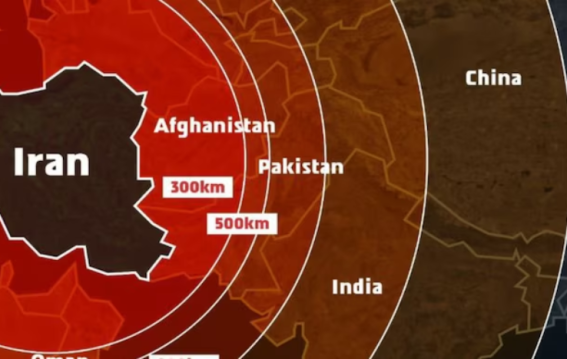
The Israeli military has come under fire after it shared a missile range map during its standoff with Iran that inaccurately depicted Indian territories. The map showed Jammu and Kashmir as part of Pakistan and India's northeastern states as part of Nepal. This sparked a wave of criticism across social media in India, with many demanding a correction. Responding to the backlash, the Israel Defense Forces (IDF) clarified that the map was only a regional illustration and not meant to reflect official national boundaries. They issued a formal apology for the oversight, acknowledging the sensitivities involved.
The controversial map was part of a broader communication campaign by Israel, warning of Iran’s missile capabilities. In the post, the IDF described Iran as a global threat and suggested that Israel was just the beginning of Iran’s broader ambitions. The map included numerous countries within Iran’s strike range, including India, Russia, China, and Ukraine. However, it was the misrepresentation of Indian territories that drew the most attention. The IDF’s clarification came in response to an X (formerly Twitter) post pointing out the inaccuracies, with the military stating, “We apologise for any offence caused by this image.”
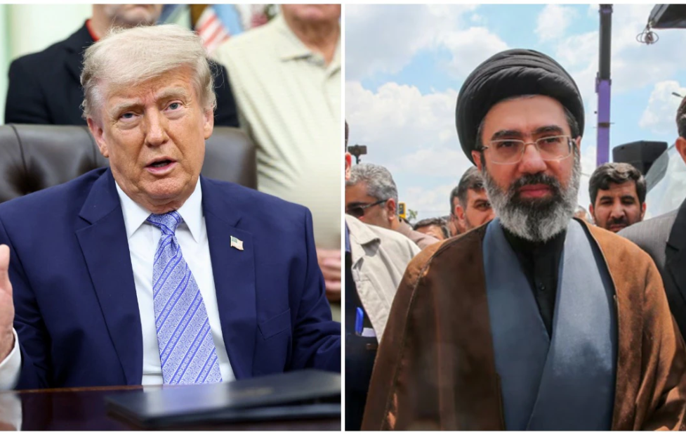
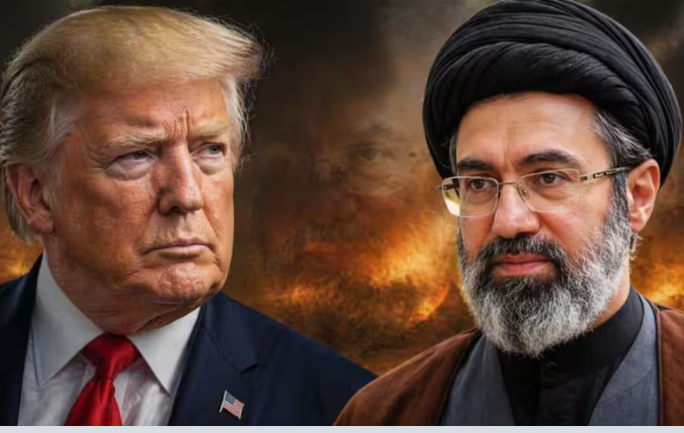
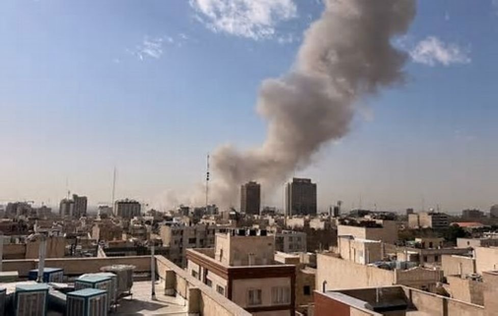
The incident occurred as military tensions escalate between Israel and Iran. Israeli airstrikes reportedly targeted key Iranian military and nuclear sites, resulting in the deaths of several top Iranian officials and dozens of others. In retaliation, Iran launched drones and missiles towards Israeli cities, intensifying the conflict. While both nations exchanged further attacks, the map controversy has caused diplomatic discomfort between Israel and India—countries that share strong strategic ties. India has maintained that regions such as Jammu & Kashmir, Ladakh, and the Northeast are inseparable parts of its sovereign territory and must be depicted accordingly on global platforms.